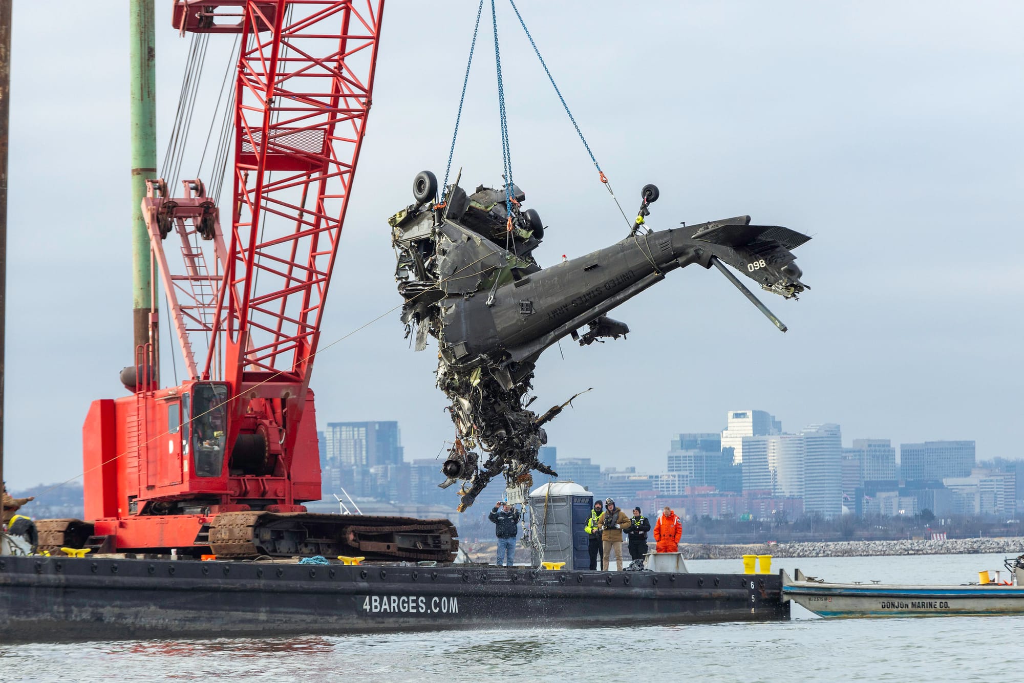
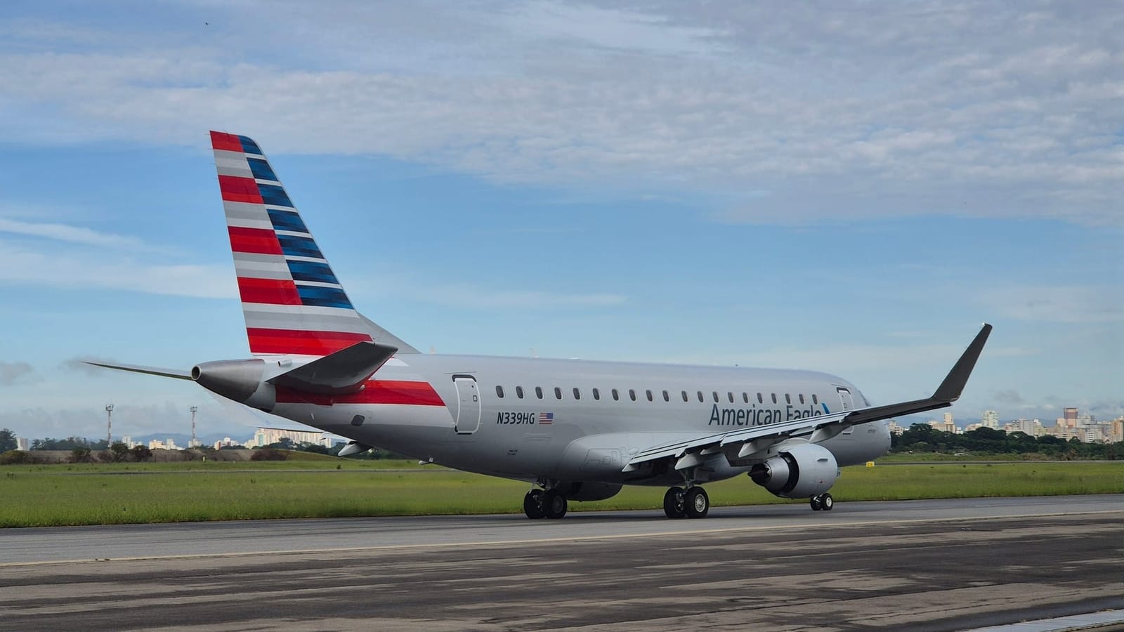
The Federal Aviation Administration (FAA) has published its latest updates to helicopter Route charts around Washington, DC, the United States, following the January 29, 2025, mid-air collision between an American Eagle Mitsubishi (née Bombardier) CRJ700 and a US Army (USA) Sikorsky UH-60 Black Hawk.
According to the FAA, its three main changes surrounding the airspace of Ronald Reagan Washington National Airport (DCA) include the continued restrictions of helicopter Routes 1 and 5, which have been kept to priority aircraft only, unless specifically authorized by air traffic control (ATC).
The change was implemented immediately after the mid-air collision near DCA, which claimed the lives of 67 people on board the two aircraft. The UH-60 Black Hawk was flying along helicopter Route 4 when it collided with the CRJ700, which was on approach to land at DCA.
Per the National Transportation Safety Board’s (NTSB) preliminary report about the incident, the regional jet’s last recorded radio altitude was 313 feet (95.4 meters), two seconds before it collided with the UH-60. The report also stated that the helicopter Route limits helicopters to a maximum altitude of 200 ft (60.9 m) until it reaches a specific point well south of DCA.
Several minutes before impact, one of the pilots of the UH-60 Black Hawk "indicated that they were at 300 ft [91.4 m]," while the instructor pilot (IP) said that the helicopter was at "400 ft [121.9 m]," the NTSB's preliminary report read.
"Neither pilot made a comment discussing an altitude discrepancy.”
The US regulator also reduced the boundaries of Zones 1, 2, and 5, and added notes to the DCA helicopter chart “to improve clarity around altitude and operational instructions.”
In addition, the FAA modified helicopter Routes near Baltimore/Washington Thurgood Marshall International Airport (BWI) and Washington Dulles International Airport (IAD), saying that these changes were “a precautionary measure that will add a buffer between aircraft and increase the separation between helicopters and airplanes operating into and out of each airport.”
Route 12 near BWI was moved north of the I-95 interstate highway. Previously, it ran along the highway, with the changes providing “increased separation for arrivals and departures at BWI,” the FAA said.
Route 7’s crossing altitude near IAD was increased by 500 ft (152.4 m) to 2,000 ft (609.6 m) to increase the approved separation in case of a go-around at the commercial airport.
The FAA's updated helicopter Route charts near BWI, DCA, and IAD are available here.
Several days before the NTSB issued its preliminary report about the January 29, 2025, mid-air collision, it released two urgent recommendations to the FAA, pleading with the regulator to prohibit operations on helicopter Route 4 when DCA’s runways 15 and 33 are used for departures and arrivals, respectively.
Consequently, the FAA should also identify an alternative helicopter Route that can be used by aircraft when that specific segment of helicopter Route 4 is closed, citing the need to avoid increasing controllers’ workload.
The FAA has already closed helicopter Route 4 between Hains Point and the Wilson Bridge, the part of the route where the two aircraft collided, which was just one of the changes the regulator implemented following the fatal crash on January 29, 2025.


